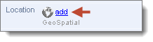
To add a GeoSpatial object:
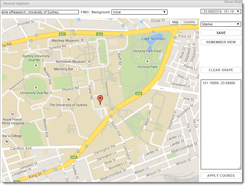
Existing geographic objects will be displayed on the map and may be edited.
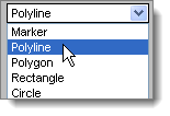
Shape |
Description |
Sample |
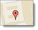
Marker |
This creates a single point on the map. To enter a Marker, click anywhere on the map. |
|
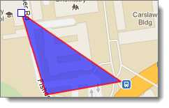
Polyline |
This creates a continuous line composed of one or more line segments. To enter a polyline, click on the map for the endpoint of each segment of polyline. |
|
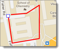
Polygon |
This creates a flat shape consisting of straight lines that are joined to form a closed multi-sided shape. To enter a Polygon, click on the map for each side of the shape. The shape is automatically closed. |
|
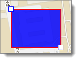
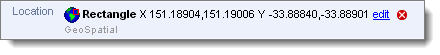
Rectangle |
This creates a rectangle shape. To enter a rectangle, click on the map for two points of the side of the rectangle. Then drag the points to create the shape. |
|
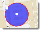
Circle |
This creates a circle shape. To enter a circle, click once on the map to indicate the centre of the circle, then click again on the circumference of the circle. |
|
Tip. To avoid having to navigate repeatedly from the world map to the area in which you are working, click Remember this view button; the map will reopen to the current area every time until you reset it.

Created with the Personal Edition of HelpNDoc: Single source CHM, PDF, DOC and HTML Help creation